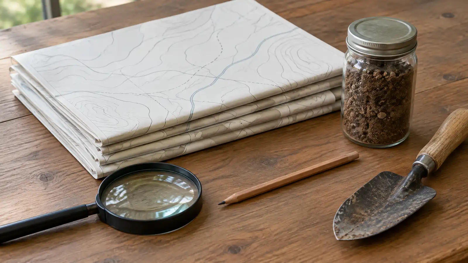
A free online tool from the Natural Resources Conservation Service that maps soil types and their properties for any area in the United States.
The Web Soil Survey is an online tool from the USDA Natural Resources Conservation Service that maps soil types and describes their properties. You can outline your lot and read about drainage, slope and soil depth. Owners in Nashville planning walls, patios, drains and plantings can use it to learn what kind of soil lies under their yard.
We are a private company and are not part of the USDA. Soil affects bases, drainage and plant choice, and local conditions can differ from the map. We check your soil during the site visit and plan bases and drains to suit it.
Visit the official Web Soil Survey website
Shows soil types by area.
Drainage, depth and slope information.
Available online.
Useful for walls and plantings.
Site conditions may vary.
We verify on site.
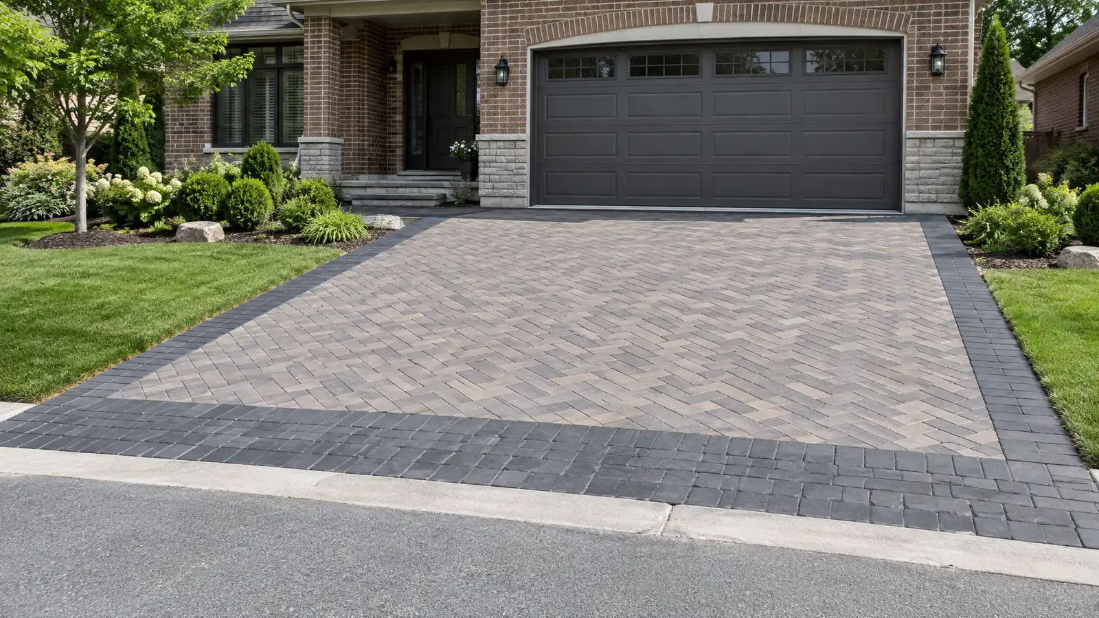 Paver Driveways and ApronsInterlocking paver driveways and aprons with heavy-duty bases that carry vehicles and look like part of the home.Explore
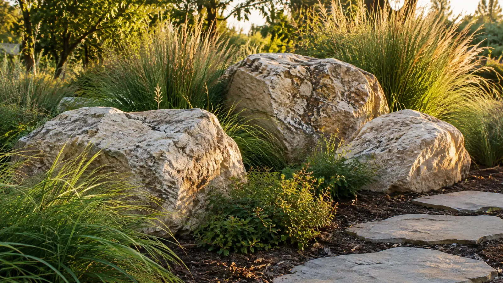 Boulders and Natural Stone FeaturesNatural boulders, stone outcroppings and stepping stones that add texture, seating and structure to gardens and slopes.Explore
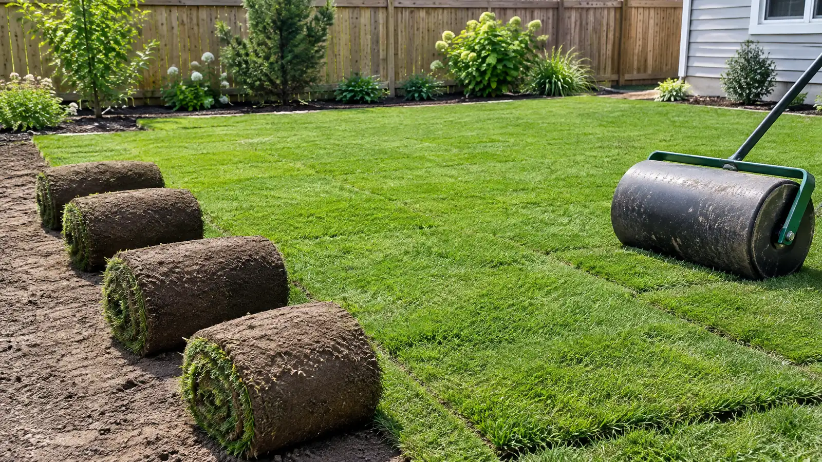 Sod and Lawn InstallationSod, seed and lawn renovation with grading and soil preparation that give you a thick, even lawn around…Explore
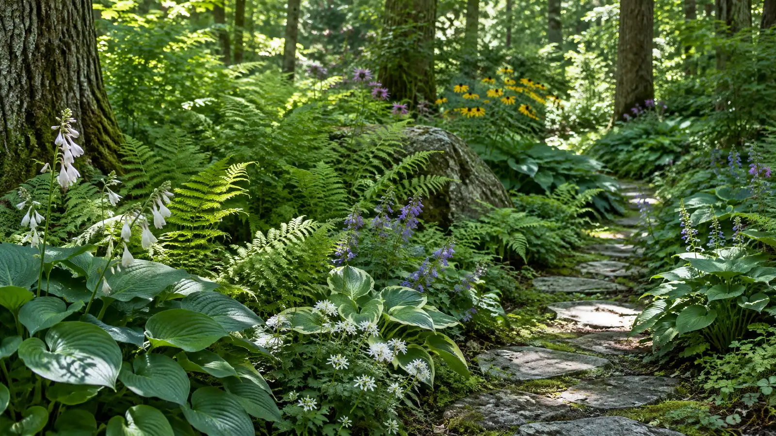 Shade and Native Plant GardensNative and shade-loving plantings that suit Middle Tennessee soil, support pollinators and need less water and care.Explore
Pick a material, size a job or ballpark a budget.
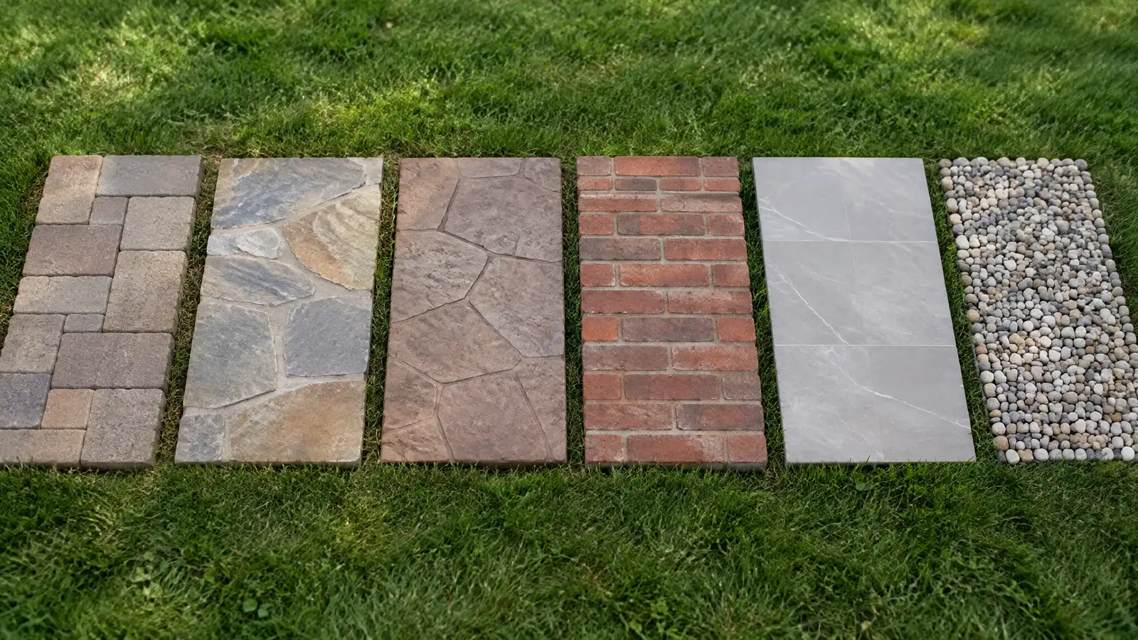 Patio Material Picker QuizAnswer a few questions about looks, upkeep, drainage, kids, pets and budget focus to see which patio materials usually fit.Try it
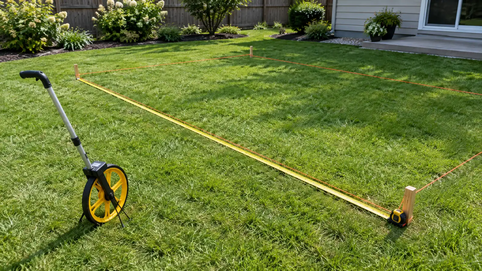 Patio Size and Materials CalculatorEnter your measurements to see square feet, pavers, base stone, sand, concrete, deck boards or wall block to plan for.Try it
 Patio and Outdoor Living Budget PlannerPick a patio, deck, kitchen, fire pit, wall or lighting job, set the size and add extras to see a ballpark planning range. Placeholder values only.Try it
It is a good guide, and conditions on your lot can differ, so we check on site.
It affects drainage and how the base performs, especially in clay.
No. We are a private company and are not part of the USDA. Officials make the decisions, and we help you understand the process and prepare information.
 ResourceCMHAAn industry association for concrete block, pavers and retaining wall products, formerly known as the National Concrete Masonry…Learn more ResourceNALPA trade association for landscape, lawn care, tree care and irrigation professionals that shares industry education and consumer…Learn more ResourceASLAA professional association for landscape architects that publishes design resources, case studies and public information on outdoor places.Learn more ResourceNSIA trade association for the natural stone industry that publishes education, design guidance and technical resources.Learn more
Call and describe your yard and what you would love to do outside. A designer will listen, talk through the options and give you a clear written estimate.