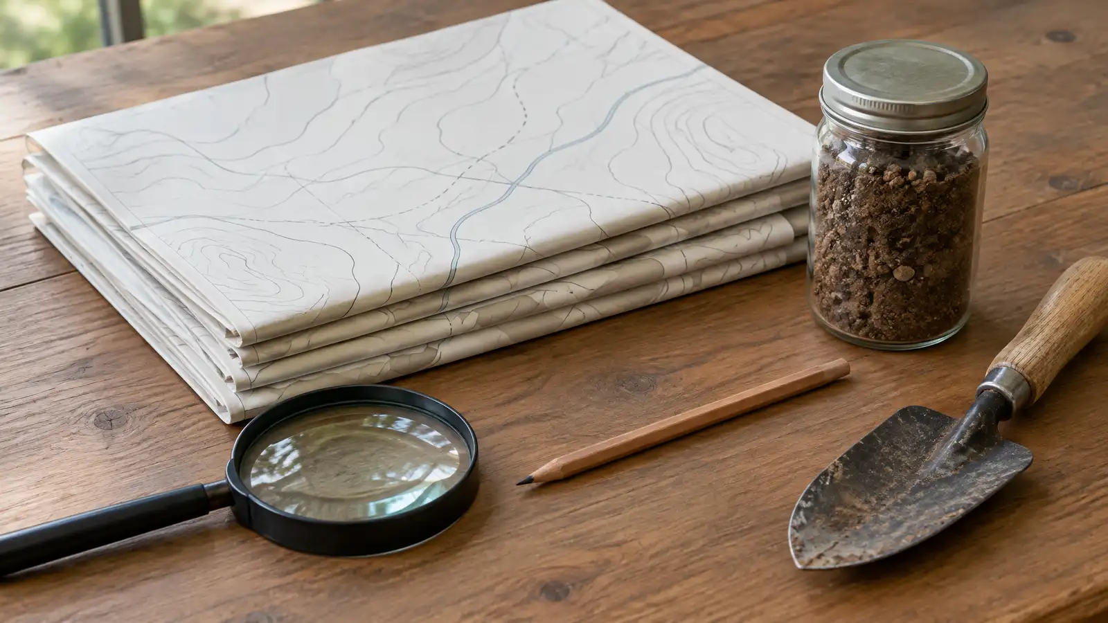
The United States Department of Agriculture map that shows average winter lows by zone, used to choose plants that survive the cold.
The USDA Plant Hardiness Zone Map shows average annual minimum winter temperatures divided into zones. Its website lets you look up a zone by zip code. Owners in Nashville use the map to choose plants that can survive winter cold, and nurseries often label plants with their zone range.
We are a private company and are not part of the USDA. The zone is a starting point, since shade, wind, soil and microclimates near walls and patios also affect plants. We choose plants for your zone, light and soil and explain how a patio can create warm and cool spots.
Visit the official USDA Zone Map website
Published by the USDA.
Search by zip code.
Shows average cold limits.
Nurseries use zones on tags.
Other factors also matter.
Walls and patios change conditions.
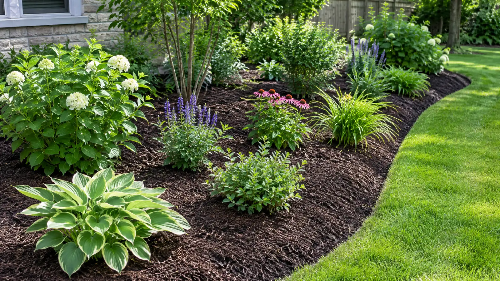 Planting Beds and MulchNew and renovated planting beds with prepared soil, layered plants, edging and mulch that stay tidy and healthy…Explore
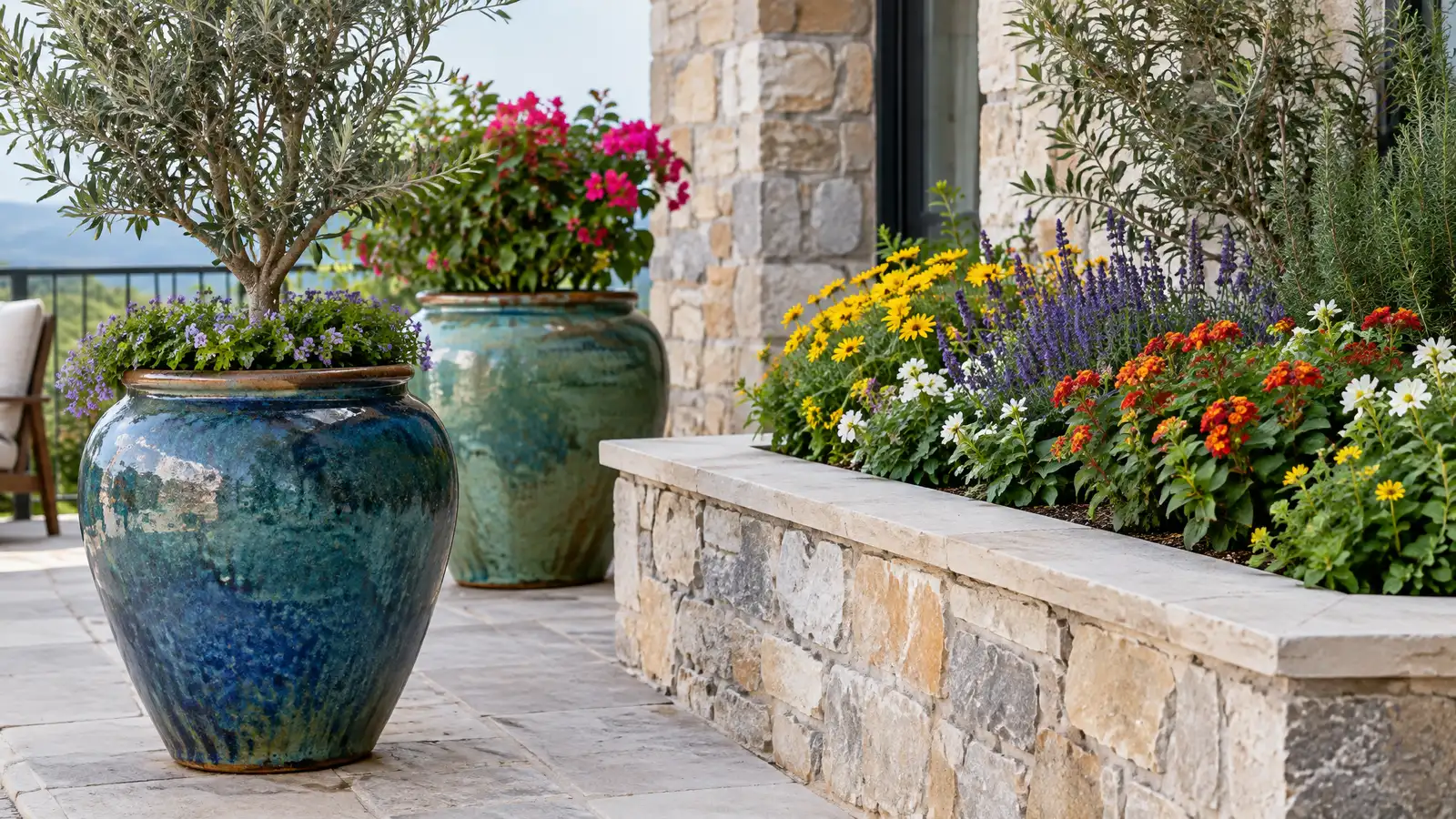 Container Gardens and PlantersBuilt-in and freestanding planters, pots and container gardens that add color and greenery to patios, decks and entries.Explore
Pick a material, size a job or ballpark a budget.
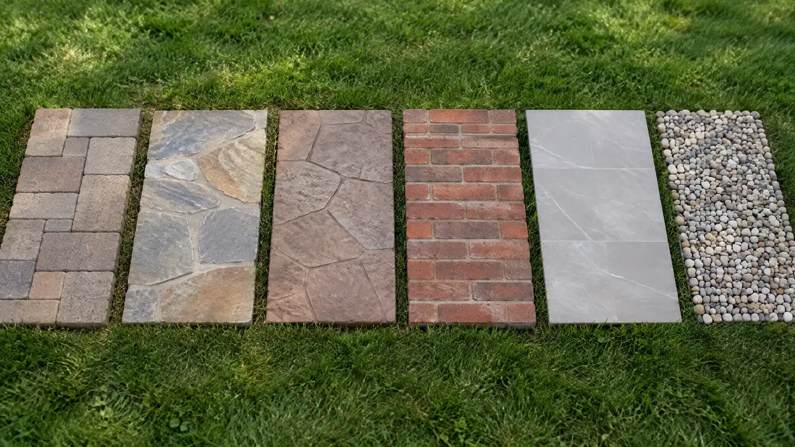 Patio Material Picker QuizAnswer a few questions about looks, upkeep, drainage, kids, pets and budget focus to see which patio materials usually fit.Try it
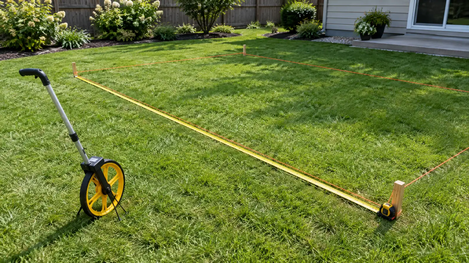 Patio Size and Materials CalculatorEnter your measurements to see square feet, pavers, base stone, sand, concrete, deck boards or wall block to plan for.Try it
 Patio and Outdoor Living Budget PlannerPick a patio, deck, kitchen, fire pit, wall or lighting job, set the size and add extras to see a ballpark planning range. Placeholder values only.Try it
The map lists zones by zip code, and you can look yours up on the USDA site.
Sometimes in sheltered spots, with some risk. We advise on plants that fit your conditions.
No. We are a private company and are not part of the USDA. Officials make the decisions, and we help you understand the process and prepare information.
 ResourceCMHAAn industry association for concrete block, pavers and retaining wall products, formerly known as the National Concrete Masonry…Learn more ResourceNALPA trade association for landscape, lawn care, tree care and irrigation professionals that shares industry education and consumer…Learn more ResourceASLAA professional association for landscape architects that publishes design resources, case studies and public information on outdoor places.Learn more ResourceNSIA trade association for the natural stone industry that publishes education, design guidance and technical resources.Learn more
Call and describe your yard and what you would love to do outside. A designer will listen, talk through the options and give you a clear written estimate.